


1- Go to sign-up page
You can find link of sign-up page on top-right corner of the website.
You can find link of sign-up page on top-right corner of the website.
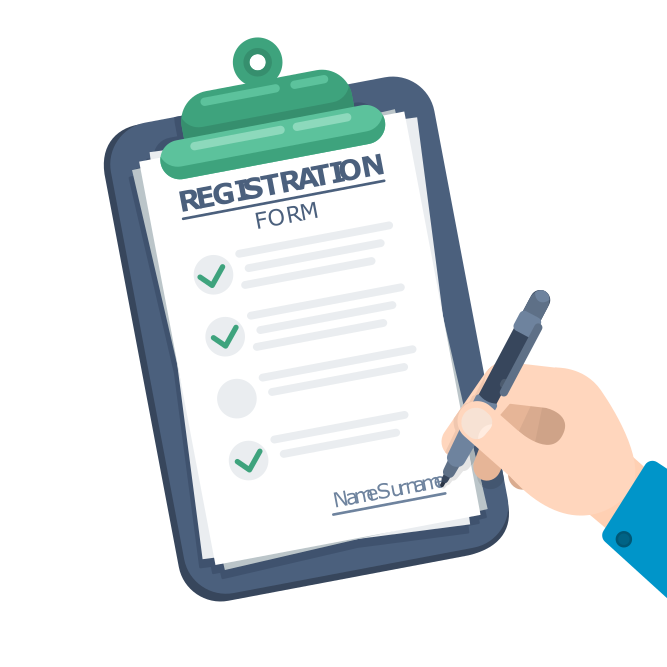
Fill the form as accurately as you can and submit it.
Our dedicated team will carefully review the submission and publish your business on our website.